Spatial Reference Systems in EEMS 12.0
Spatial reference systems play a crucial role in data processing and visualization, as well as in interpreting the model output in EEMS.
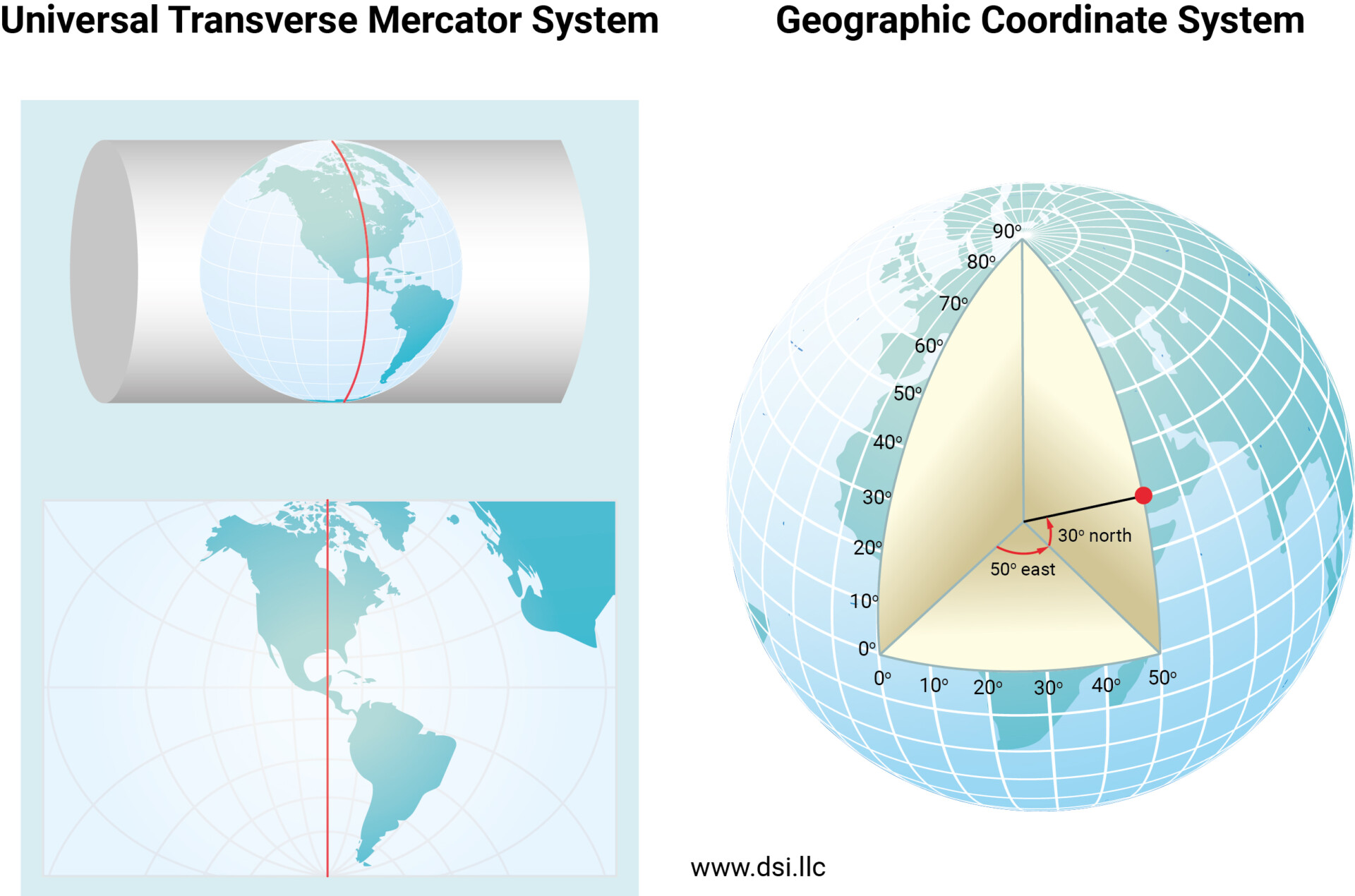
Spatial reference systems play a crucial role in data processing and visualization, as well as in interpreting the model output in EEMS.

In the old days, when you purchased software, there was a tangible element: You received a package of one or more floppy disks or CD-ROMs, which you then used to install the software.
Several significant enhancements have been made to the temperature module settings in EEMS 12.1. These changes to the user interface reflect new modules in EFDC+ and facilitate a more efficient workflow
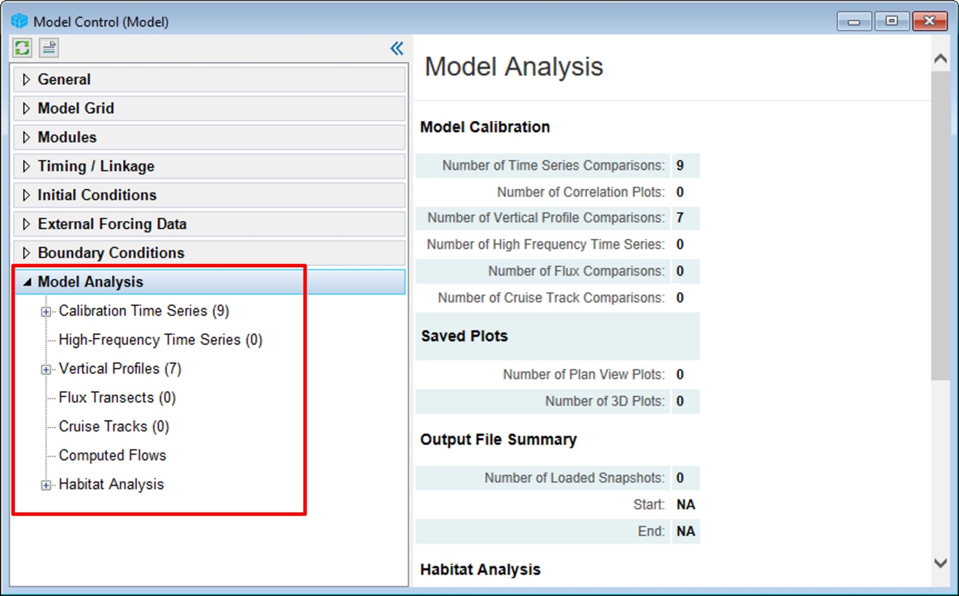
EFDC+ Explorer is a powerful and intuitive tool for evaluating models using various types of comparison data.
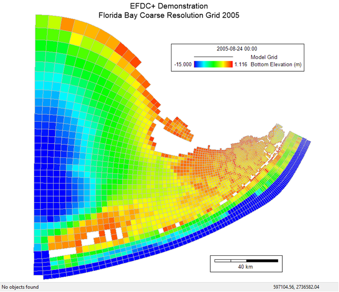
In many situations, a modeler may need to incorporate results from an external model into an EFDC+ model.
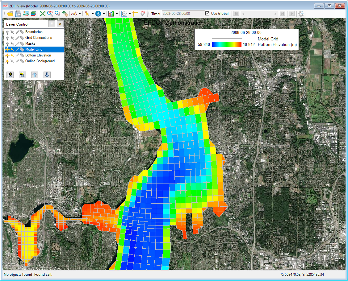
A curvilinear orthogonal grid, like that used in EFDC, can effectively represent complex river systems and coastlines.
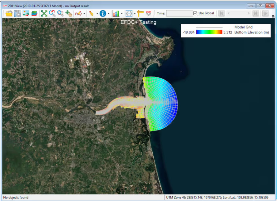
In the previous blog, we were introduced to the newly incorporated geographic coordinate system in EEMS12.0
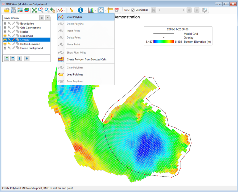
Modelers often find it necessary to edit and adjust a wide range of parameters displayed in the 2DH view of EFDC+Explorer (EE).
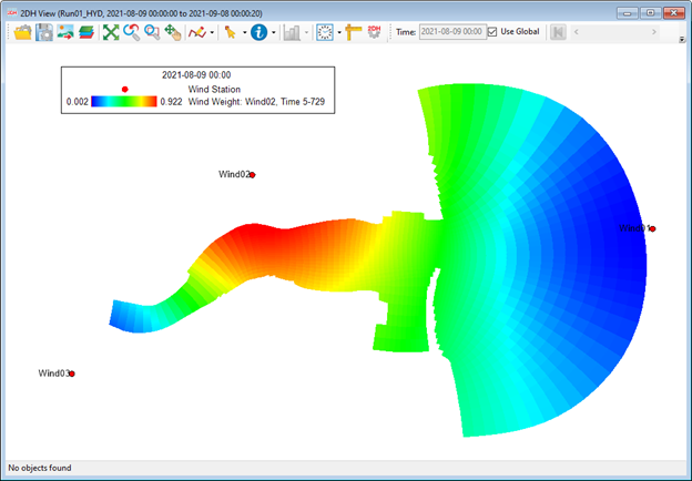
Wind is an essential factor in hydrodynamic model settings. EEMS has a feature that allows users to add multiple wind series to the model.
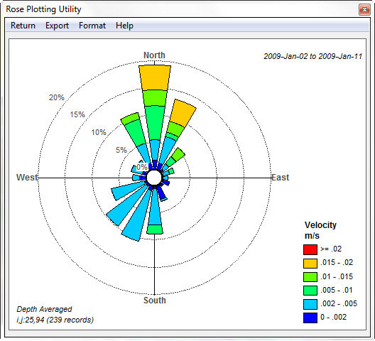
Did you know that EFDC+ Explorer has a Velocity Rose feature?
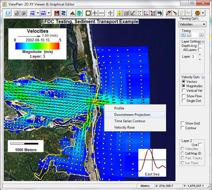
Did you know that EFDC+ Explorer has a Downstream Velocity Projection feature?