In-Person EEMS Training Edmonds, WA · Sept 21–23, 2026 Register →
Habitat Analysis

Salinity Intrusion

3D salinity intrusion modeling for estuaries and rivers — protecting water supplies, oyster beds, and seagrass from saltwater intrusion.

Modeling Saltwater Intrusion & Estuarine Salinity

Saltwater intrusion — driven by reduced freshwater flows, sea-level rise, and urban development — threatens freshwater ecosystems, water supplies, and sensitive habitats like oyster beds and seagrass. Three-dimensional salinity modeling is essential for assessing these risks and evaluating management options.

3D water-column salinity animation showing salt and fresh water stratification in EFDC+. 3D water-column salinity animation showing salt and fresh water stratification in EFDC+.
3D water-column salinity simulation in EFDC+
EEMS Capabilities

EFDC+‘s Sigma-Zed vertical layering accurately simulates how fresh and salt water interact and stratify in estuaries and river systems — outperforming comparable tools. EEMS includes full post-processing support to analyze salinity patterns, track seasonal and multi-year trends, and compare management scenarios.

Projects

Chesapeake Bay, USA — Salinity and Stratification Dynamics

The Chesapeake Bay has been used to benchmark EFDC+‘s parallel processing capabilities, with a 1-million-cell model testing scalability across many processors. The application shows that EEMS can handle large, complex estuaries where accurate salinity stratification is essential for water quality and habitat management.
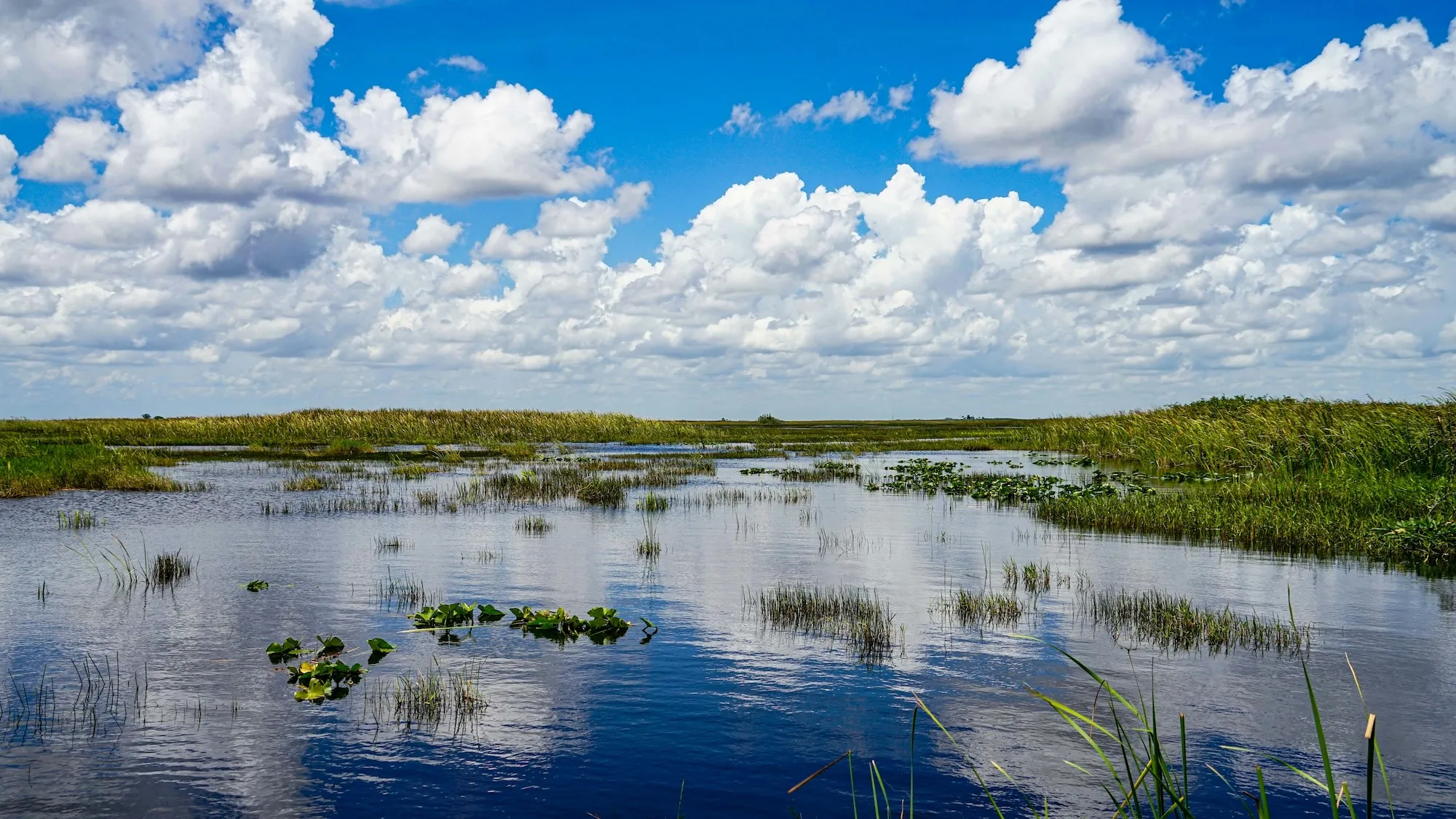
Chesapeake Bay: salinity and stratification simulation in EFDC+

Delaware River, USA — Salinity and Contaminant Transport

EEMS has been applied to the Delaware River for salinity modeling and contaminant studies, including work supporting PFOA assessment for the New Jersey Department of Environmental Protection. The 3D model captures the salt front dynamics that affect both water supply and aquatic habitat in this major East Coast estuary.

Lower St. Johns Estuary, Florida, USA — Navigation and Habitat Impacts

Visit source

EFDC+ with Sigma-Zed was used to assess how deepening Jacksonville Harbor would change salinity conditions in the Lower St. Johns River. The model accurately reproduced the estuary’s stratified conditions and was used to evaluate risks to oyster beds, seagrass, and other salinity-sensitive habitats. Read the external publication →

Ocean Pointe, Hawaii, USA — Coral Reef Salinity Protection

An EFDC+ model was built for the Ocean Pointe area of Hawaii to assess how major freshwater storm drains affect near-shore salinity. Results were evaluated against the 31.5 ppt salinity standard needed to protect nearby coral reefs — a direct connection between hydrodynamic modeling and reef conservation.

St. Lucie Estuary, Florida, USA — Lake Okeechobee Release Impacts

When Lake Okeechobee releases large volumes of fresh water into the St. Lucie Estuary, salinity drops enough to damage oyster beds and seagrass. EEMS was used to develop a 3D model that evaluates these freshwater inflow impacts, giving decision-makers a clearer picture of the trade-offs involved in Lake Okeechobee management.

Dam with mountains