Shellfish Farm Module in EEMS10.2
The new shellfish sub-model in EEMS10.2 was used to replicate the Kobayashi et al., (1997) test case
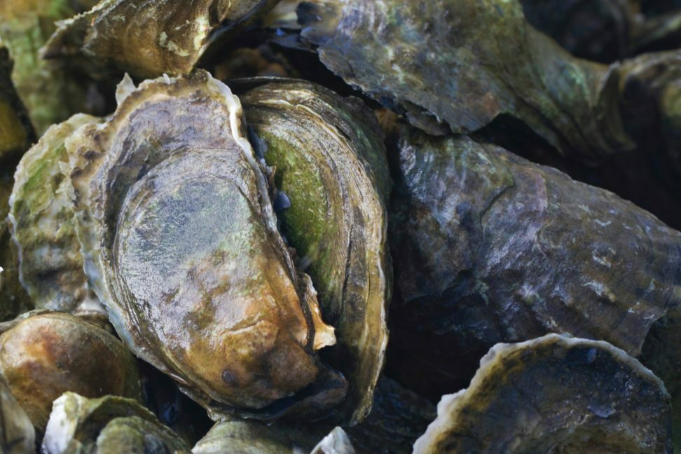
The new shellfish sub-model in EEMS10.2 was used to replicate the Kobayashi et al., (1997) test case

DSI has developed an improved version of the EFDC code to help deal with pressure gradient errors that occur in simulations that have steep changes in bed elevation. This new version of the code is called the Sigma-Zed code (SGZ) and has been integrated into the EFDC+
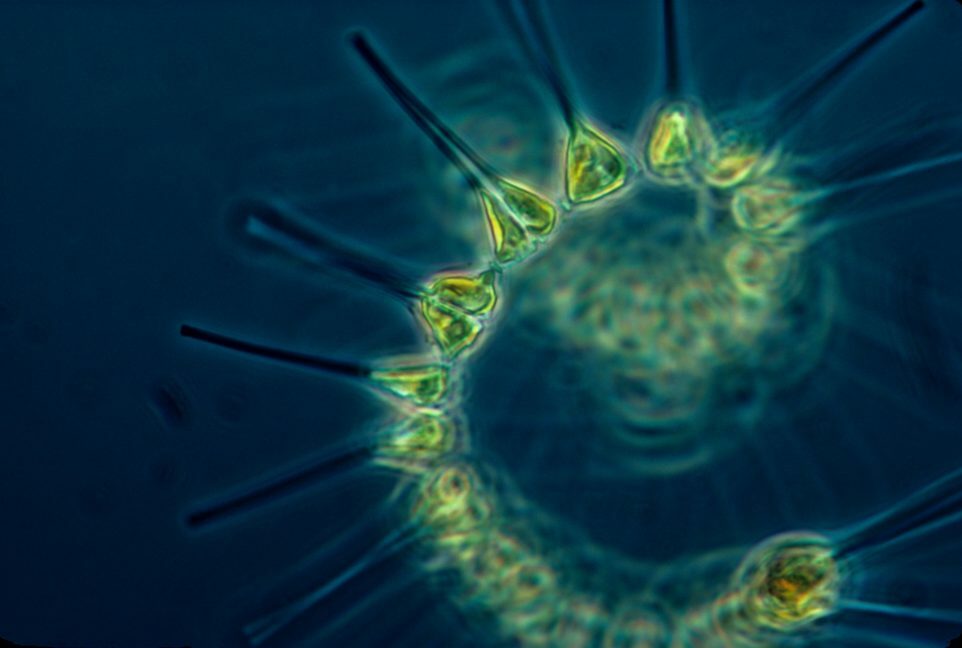
In our earlier water quality blogs, we provided a preview of new features in the upcoming version of EEMS which will include unlimited phytoplankton and zooplankton classes
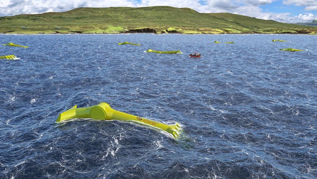
High wind speeds associated with hurricanes are capable of producing extreme waves, and high winds, currents, and tides can combine to create storm surge.

Spatial reference systems play a crucial role in data processing and visualization, as well as in interpreting the model output in EEMS.
EFDC+ now employs parallel processing capabilities using MPI combined with OpenMP, significantly accelerating model simulations.

Several significant enhancements have been made to the temperature module settings in EEMS 12.1. These changes to the user interface reflect new modules in EFDC+ and facilitate a more efficient workflow

Better Assessment Science Integrating point and Nonpoint Sources (BASINS) is a multipurpose environmental analysis system and has been made freely available by its developer, the US EPA

In the previous blog, we were introduced to the newly incorporated geographic coordinate system in EEMS12.0

EEMS 10.2 includes EFDC+ with domain decomposition and Message Passing Interface (MPI) to significantly improve the model performance.
Starting from EEMS version 12, users have the flexibility to construct models using turbulence closures sourced from GOTM
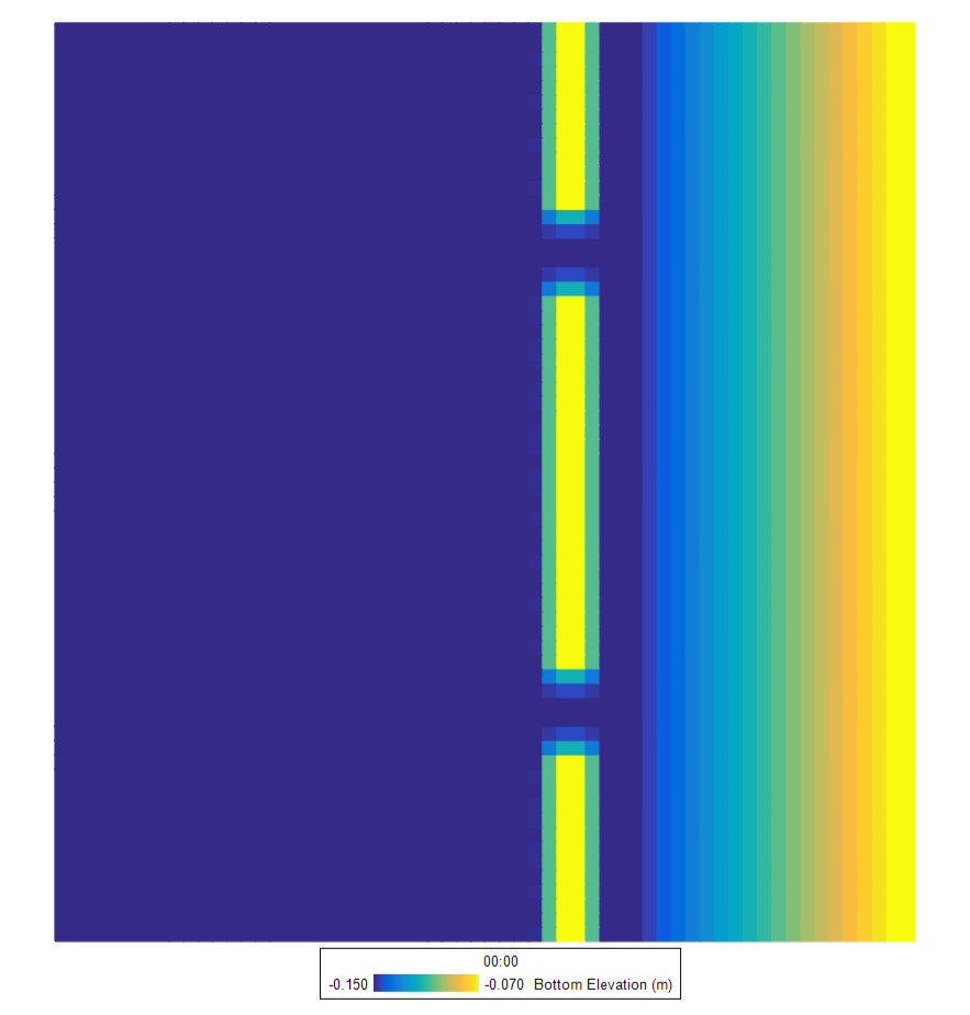
A preview of a DSI white paper comparing two approaches for simulating wind waves in EFDC+ — the internal SMB method and the external SWAN method — applied to the same wind-wave sediment-transport model of a sloped beach with offshore sandbars and rip channels.
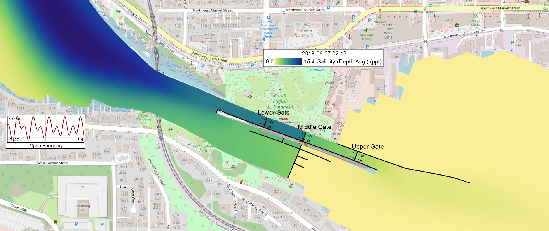
A navigation lock is a valve between two water bodies that should never mix. How you represent that handoff in a model decides what the model can show, and how much work it takes to get there.