Nile River (Africa)
The Nile River is widely regarded as the longest river in the world, stretching 6,853 km (4,258 miles) through northeastern Africa. Its basin encompasses significant industrial activity and urban development, making it a subject of keen interest to researchers, industry stakeholders, and environmental regulators alike.
Flowing northward, the Nile is an international river whose water resources are shared by eleven countries: Tanzania, Uganda, Rwanda, Burundi, the Democratic Republic of Congo, Kenya, Ethiopia, Eritrea, South Sudan, Sudan, and Egypt. It serves as the primary water source for both Egypt and Sudan.
The river has two major tributaries, the White Nile and the Blue Nile. The White Nile is considered the headwaters and principal stream; it rises in the Great Lakes region of central Africa, with its most distant source still undetermined but believed to lie in either Rwanda or Burundi. It flows north through Tanzania, Lake Victoria, Uganda, and South Sudan. The Blue Nile, while shorter, contributes the majority of the river’s water and silt; it originates at Lake Tana in Ethiopia and flows into Sudan from the southeast. The two tributaries converge near Khartoum, the Sudanese capital (Wikipedia).
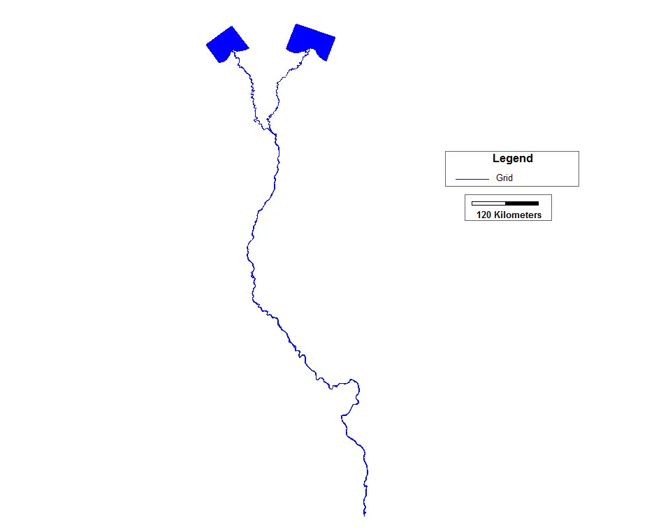
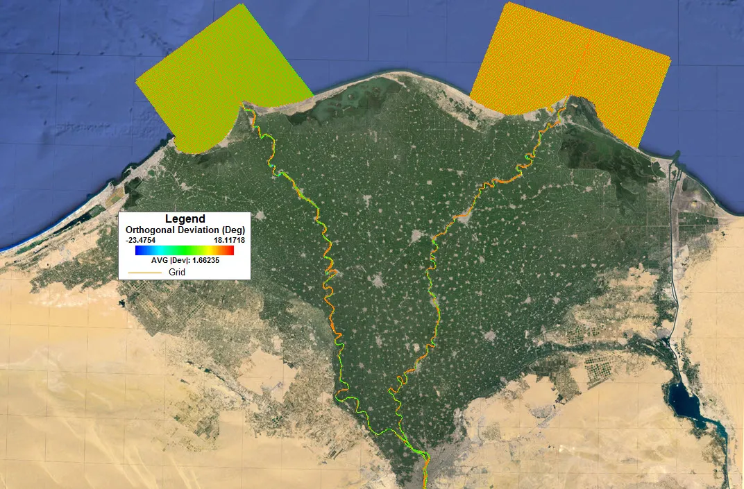
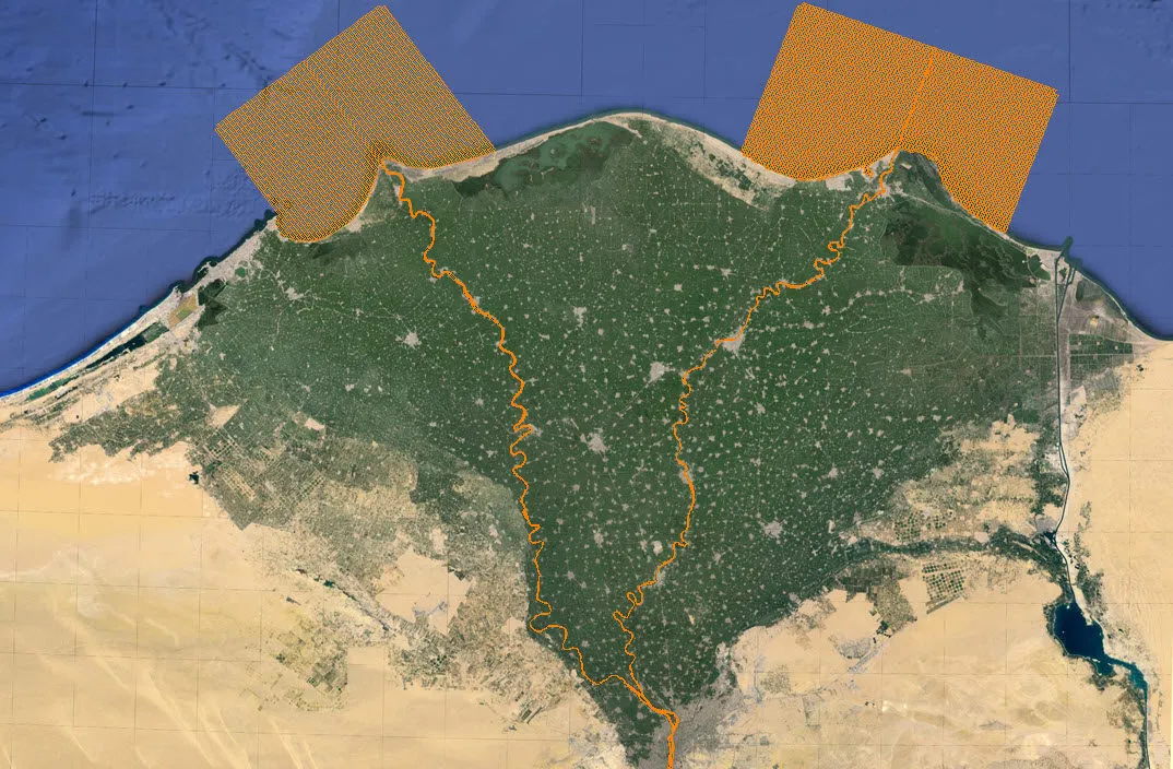
The model grid covers the Nile from the Aswan Dam in Egypt to the sea, comprising 40,261 cells with an average orthogonal deviation of 1.69 degrees. The grid was constructed in multiple stages and merged into a single unified grid using Grid+ 1.1.
DownloadBy downloading you agree to these Terms and Conditions