Boston Harbor (USA)
Boston Harbor is a natural harbor and estuary of Massachusetts Bay, situated adjacent to the city of Boston, Massachusetts. It has a long history of severe pollution and has been the focus of sustained legal and political controversy, attracting considerable attention from researchers and environmental regulators.
The harbor encompasses fifty square miles of water, with 180 miles (290 km) of shoreline and 34 harbor islands. Concerns about water quality date back to at least the late 19th century, when Boston residents were advised against swimming in any part of the harbor. In 1919, the Metropolitan District Commission was established to oversee and regulate harbor water quality; however, meaningful improvements were slow to materialize, and public awareness of the problem remained limited. The passage of the federal Clean Water Act in 1972 marked a turning point, establishing a national framework for improving water quality across the United States.
From the mid-1970s onward, community organizations across Boston campaigned for a cleaner harbor. Failures at local sewage treatment plants had wide-ranging environmental and political consequences: elevated fecal coliform bacteria levels led to frequent swimming prohibitions along harbor beaches and the Charles River for many years. A landmark court ruling eventually mandated a comprehensive cleanup, culminating in the $4.5 billion Boston Harbor Project. The slow pace of remediation became a prominent issue in the 1988 U.S. presidential election, when George H.W. Bush used Massachusetts Governor Michael Dukakis’s environmental record as a campaign liability, despite Dukakis’s own claims that his record surpassed that of Bush. Court-ordered cleanup efforts continued throughout the following two decades and remain ongoing.
Water quality in both the harbor and the Charles River has improved substantially in recent years, transforming Boston Harbor from one of the most polluted in the nation to one of the cleanest. The harbor is now safe for fishing and swimming on most days, though beach closures still occur periodically following rainfall events, due to bacteria-laden stormwater runoff and occasional combined sewer overflows.
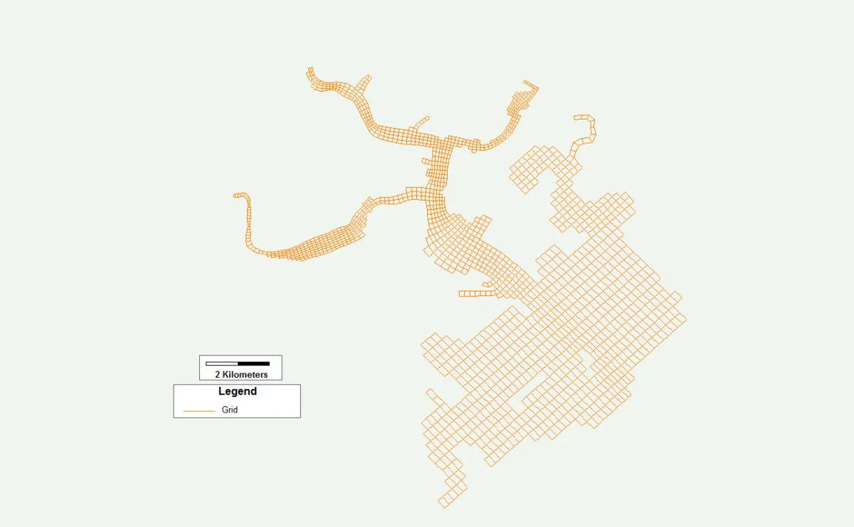
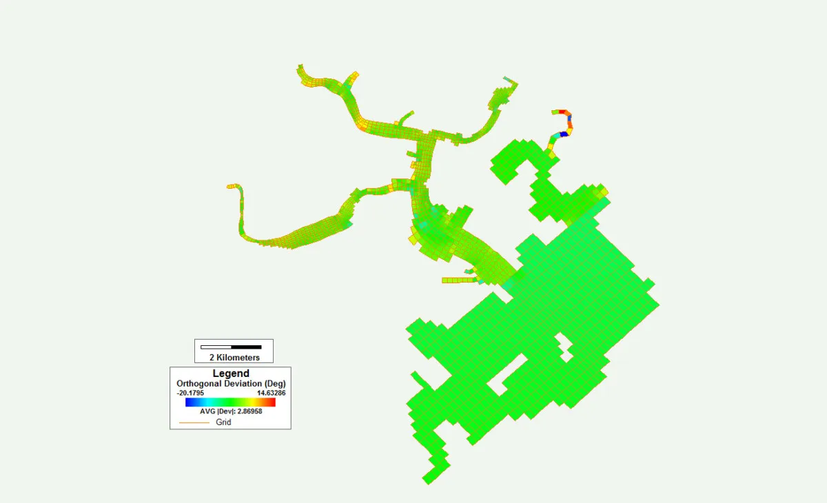
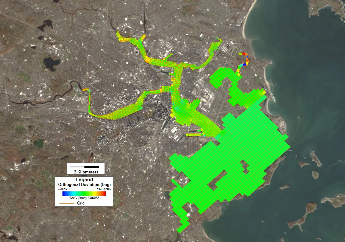
The model grid for this study comprises 1,587 cells, combining a Cartesian grid for the bay with a curvilinear grid for the upstream tributaries. The grid has an average orthogonal deviation of 2.86° and was constructed using EFDC+ Explorer and Grid+ 1.1.
DownloadBy downloading you agree to these Terms and Conditions