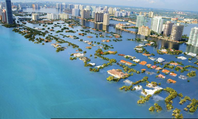
Climate change is an accepted reality, so most infrastructure development and maintenance will require the evaluation of possible impacts of climate change.
Such climate change effects will vary depending on location. Because there are many unknowns, impact assessment will require a probabilistic estimation of scenarios. In the evaluation of new infrastructure resiliency, a robust modeling tool like EFDC+ Explorer Modeling System (EEMS) can be effectively used to model many such scenarios.
One of the many applications of EEMS is flood modeling, based on the three-dimensional (3D) hydrodynamic modeling feature of EFDC+; this is often used to evaluate the extent of flooding during storms of different return periods. The extent of flooding can also be evaluated under different management and climate change scenarios. In one such application, DSI developed a 3D model of Novato Creek (CA) and surrounding floodplains for Marin Watershed Program (KHE, 2016). The model was calibrated using historical data and several future scenarios were simulated using different management options. These scenarios included sea level rise, removal of levees, and expanded conveyance. In another application of EEMS, DSI developed a model of an estuary in Florida where the Lower St. Johns River in Florida drains to the Atlantic Ocean. Sea level rise combined with changes to the estuary in the form of dredging to support inland transport would cause increased salinity in the estuary and affect habitat. EEMS can be easily used to evaluate associated scenarios and assist stakeholders and managers in planning.
Numerous applications of EEMS have been used to evaluate water quality, habitats, flooding extent, and other issuess; many of these can be easily extended to evaluate climate change impacts.
In addition to its robust modeling and analytical capability, EEMS offers state-of-the-art model visualization capabilities. These features can assist users not only in understanding the dynamics of the processes in play, but also in communicating those details to stakeholders. Often, stakeholders who may not have the resources to evaluate detailed Environmental Impact Assessment reports, will be able to easily understand EEMS’s animation of the physical processes.
To learn more about some of these models, please visit the following links, which detail some of these studies.
Want to give it a try? You can start by downloading our Free Demo and demonstration models. To see these features in action, head over to our YouTube page.
References:

