Boston Harbor is a natural harbor and estuary of Massachusetts Bay, and is located adjacent to the city of Boston, Massachusetts. Historically it has been heavily polluted and has been to focus of ongoing legal and political controversy making it of concern to researchers and environmental regulators.
The harbor itself comprises fifty square miles with 180 miles (290 km) of shoreline and 34 harbor islands. As early as the late 19th century Boston citizens were advised not to swim in any portion of the Harbor. In 1919 the Metropolitan District Commission was created to oversee and regulate the quality of harbor water. However, not much improvement was seen and general public awareness of the poor quality of water was very low. In 1972 the Clean Water Act was passed in order to help promote increased national water quality.
Since the mid-1970s organizations within the Boston community have battled for a cleaner Boston Harbor. More recently, the harbor was the site of the $4.5 billion Boston Harbor Project. Failures at sewage treatment plants had far-reaching environmental and political effects. Fecal coliform bacteria levels forced frequent swimming prohibitions along the harbor beaches and the Charles River for many years. Finally, a landmark court ruling ordered cleanup of Boston Harbor. The slow progress of the cleanup became a key theme of the 1988 U.S. presidential election as George H.W. Bush defeated Dukakis partly through campaign speeches casting doubt on the governor’s environmental record, which Dukakis himself had claimed was better than that of Bush. The court ordered cleanup continued throughout the next two decades and is still ongoing.
Recently water quality in both the Harbor and the Charles River has significantly improved, and the projects have dramatically transformed Boston Harbor from one of the filthiest in the nation to one of the cleanest. Today Boston Harbor is safe for fishing and for swimming nearly every day, though there are still beach closings after even small rainstorms, caused by bacteria-laden storm water and the occasional combined sewer overflow.
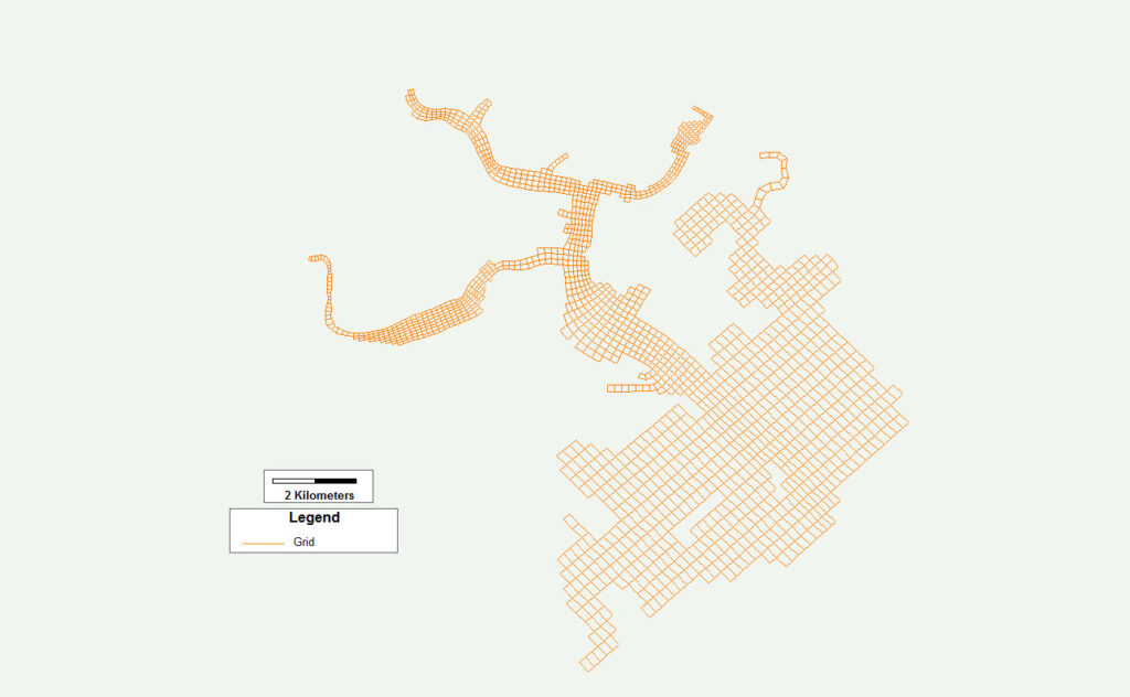
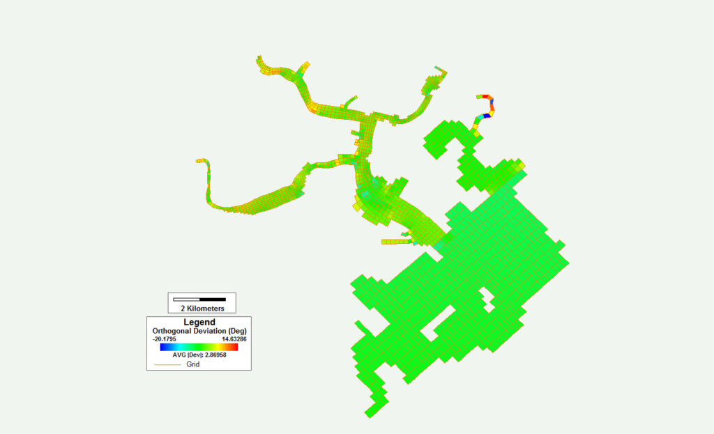
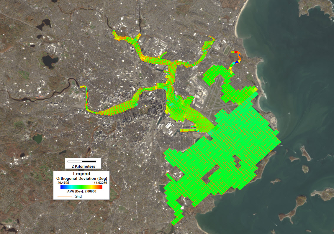
This model grid contains 1,587 cells, and is a combination of a Cartesian grid for the bay and a curvilinear grid for the upstream tributaries, with an average orthogonal deviation of 2.86 degrees. This grid was built for use with EFDC+ Explorer and Grid+.


