The Columbia River is the largest river in the Pacific Northwest region of North America. It has numerous industry and urban areas along its length raising interest among researchers, industry and the environmental regulatory community.
The river rises in the Rocky Mountains of British Columbia, Canada. It flows northwest and then south into the US state of Washington, then turns west to form most of the border between Washington and the state of Oregon before emptying into the Pacific Ocean. The river is 2,000 km (1,243 miles) long, and its largest tributary is the Snake River. Its drainage basin is roughly the size of France and extends into seven US states and a Canadian province.
By volume, the Columbia is the fourth-largest river in the United States; it has the greatest flow of any North American river draining into the Pacific (Wikipedia).
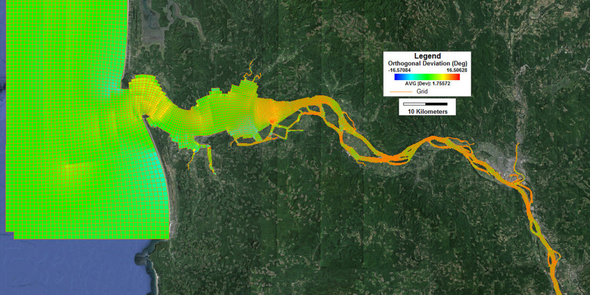
Summary of Grid: This model grid contains 10,939 cells, with an average orthogonal deviation of 1.76 degrees. The grid stretches from St. Helens of Columbia County, Oregon to the sea. This grid was built in multiple stages and joined to together to make one complete grid in EFDC+ Explorer and Grid+.


