New Vertical Layering Options in EEMS 12.1
A new vertical layering option following the Sigma-Zed (SGZ) approach has recently been added to EEMS. The new SGZ scheme offers significant flexibility in configuring the vertical layering system, complementing the existing options, including the original Sigma Stretch (SIG) and the current Sigma-Zed (SGZ). This blog will revisit all the existing vertical layering options in EEMS before outlining how the new feature works. The aim is to help users understand the various approaches and determine which is most applicable for their given applications.
Standard Sigma Coordinate (GRIDV=0)
The Standard Sigma (SIG) approach is a topographically conformal vertical coordinate system that is widely used in three-dimensional hydrodynamic models. In the SIG coordinate formulation, the number of vertical layers is the same at all horizontal locations in the model grid, regardless of the water depths. An illustration of the approach can be seen in Figure 1. The SIG approach has been successfully applied for estuary modeling (e.g., Galperin et Mellor 1990) and to correctly simulate the bottom boundary layer to represent tidal mixing. However, it is subject to horizontal pressure gradient errors when the system has steeply sloping beds relative to the horizontal grid size (Mellor et al., 1994). This occurs because the standard sigma coordinate system aligns its vertical layers with the varying bathymetry, causing uneven spacing of grid points along the sloping terrain. Consequently, the calculation of horizontal pressure gradients becomes distorted as the vertical layers fail to accurately represent the true depth variations, particularly in regions of pronounced topographic relief.
Sigma-Zed Approach (SGZ)
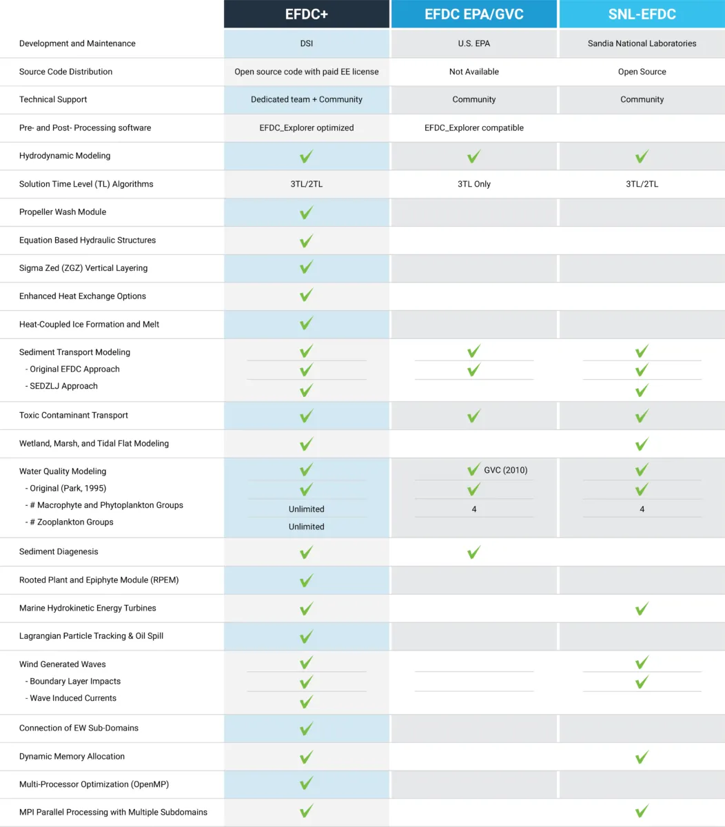
To overcome the pressure gradient errors in the SIG approach, the SGZ approach was developed and applied in the EFDC+ model (Craig et al., 2014). This approach allows the number of layers to vary over the model domain based on the water depth. As a result, each cell can use a different number of layers, though the number of layers in that cell remains constant over time. The SGZ approach is computationally efficient and is now recommended as the standard approach, ensuring greatly improved accuracy. In previous versions of EEMS, two SGZ options were available: SGZ-Specifed Bottom Layer (GRIDV = 1) and SGZ-Uniform Layers (GRIDV = 2). The latest EEMS 12.1 introduces a new option, SGZ -Specified Thickness from Top.
SGZ – Specified Bottom Layer (GRIDV=1)
When using this option, EE generates a configuration file (sgzlayer.inp) for the vertical layering scheme. The layering configuration file contains information of the bottom layer of each cell, as well as the sigma layer splits of the cell active layers. To generate the sgzlayer.inp file, a nominal layer thickness is first calculated based on the maximum water depth in the model, then the number of active layers is calculated for each cell according to its water depth. As a result, a significant reduction in the number of layers is gained in the shallow cells, compared to the SIG approach.
An illustration of the vertical layering obtained using this approach is shown in Figure 2. It is noted that the layer thickness of the adjacent cells does not align in the same plane. The SGZ-Specified Bottom Layer option is robust and can be applied to any type of system, such as stratified systems and systems with rapidly changing bed elevation. It is particularly suited to estuary and coastal systems where the water levels vary over various parts of the domain. For example, in an estuary with a higher water level in the upstream reach and widely varying tidal boundaries, the GRIDV =1 option is most appropriate.
Sigma-Zed Uniform Layer (GRIDV=2)
Similar to the SGZ-Specified Bottom Layer option, in this SGZ approach, a configuration file (sgzlayer.inp) for the vertical layering scheme is generated by EE based on the cell water depth. The layering is built from the top, keeping the bottom of each layer aligned in the horizontal direction, as shown in Figure 3. This means that despite variations in bathymetry (like sloping riverbeds or varying estuary depths), the boundaries between the layers remain parallel and uniform, providing a consistent structure for modeling. The SGZ-Uniform Layer is most suited to lakes and waterbodies where the water levels are generally uniform over the model domain. For example, this option has been used in Lake Mead and Lake Washington, where the water surface elevation rises and falls uniformly.
Sigma-Zed Specified Thickness from Top (GRIDV=3)
The SGZ Specified Thickness from Top is a new option for vertical layering in EEMS 12.1. When using this approach, the user can configure the model layers not as relative splits but as actual layer thicknesses in meters. The layers are built starting from the top, and the bottom of each layer is aligned in the horizontal direction. This option gives the user the flexibility to specify the layer thickness and the maximum depth of the model domain to generate an appropriate vertical layering scheme. It appears similar to a Z coordinate grid in the initial condition. However, the layer thickness will vary according to the evolution of the water depth during the simulation.
In practice, ensuring the layer sum and the max depth match is unnecessary, as EE will truncate any if they do not match. For example, if the model has a max depth of 40 m, but the layers to sum 60 m, then the redundant bottom 20 m will be truncated. Conversely, if the max depth is 60 m and the layer sum is 40 m, then the bottom 20 m will be lumped into the bottom layer. An example of the layering scheme generated by this option is shown in Figure 4.
Conclusions
In this blog, we provided insight into various approaches for the vertical layering options in EEMS. We also introduced the new SGZ option, which gives considerable flexibility when configuring the layering scheme. In a follow-up blog post, we will show how the different layering schemes can be applied to a model and outline the benefits of the various approaches.
Do you want to try these options for yourself? You can start by downloading EEMS, activating the free demo mode, and then running our demonstration models. To see these features in action, head over to our YouTube page.
Please get in touch with us if you have any comments or questions. For more information on EFDC+ capabilities, contact the DSI team today.
Talk to the experts
References
Galperin, B., Mellor, G.L., 1990. A time-dependent, three-dimensional model of the Delaware Bay and River system. Part 1: description of the model and tidal analysis. Estuarine, Coastal and Shelf Science, 31 (3), 231–253
Mellor, George L., Tal Ezer, and Lie-Yauw Oey, The pressure gradient conundrum of sigma coordinate ocean models, Journal of Atmospheric and Oceanic Technology, 11(4), 1126-1134 (1994)
Craig, P., Chung, D., Lam, N., Son, P. & Tinh, N., Sigma-Zed: A Computationally Efficient Approach To Reduce The Horizontal Gradient Error In The EFDC’s Vertical Sigma Grid. ICHD(2014)